Overview
Maps combine data, geography, and design into visuals that inform and guide. This advanced course teaches you to create professional maps in Illustrator—from importing geographic data to styling terrain, roads, and landmarks with clarity and visual appeal. Whether you’re designing transit maps, editorial illustrations, or wayfinding systems, you’ll learn techniques that cartographers and designers use to communicate spatial information effectively.
You’ll work with real map data, develop symbol systems for consistent cartographic elements, apply typography best practices for labels and annotations, and prepare maps for both print and digital publication. By the end of the day, you’ll produce maps that are accurate, readable, and visually compelling.
Format: 1 Day | VILT
Who Should Attend
- Designers creating maps for publications, wayfinding, or marketing
- Illustrators producing editorial or infographic maps
- Urban planners and architects needing presentation-quality maps
- Anyone who needs to design clear, attractive geographic visuals
What You’ll Learn
- Import and clean geographic data for use in Illustrator
- Style roads, regions, water, and terrain effectively
- Build symbol systems for landmarks, icons, and markers
- Apply cartographic typography and labeling best practices
- Create maps that balance accuracy with visual clarity
- Export maps optimized for print and digital use
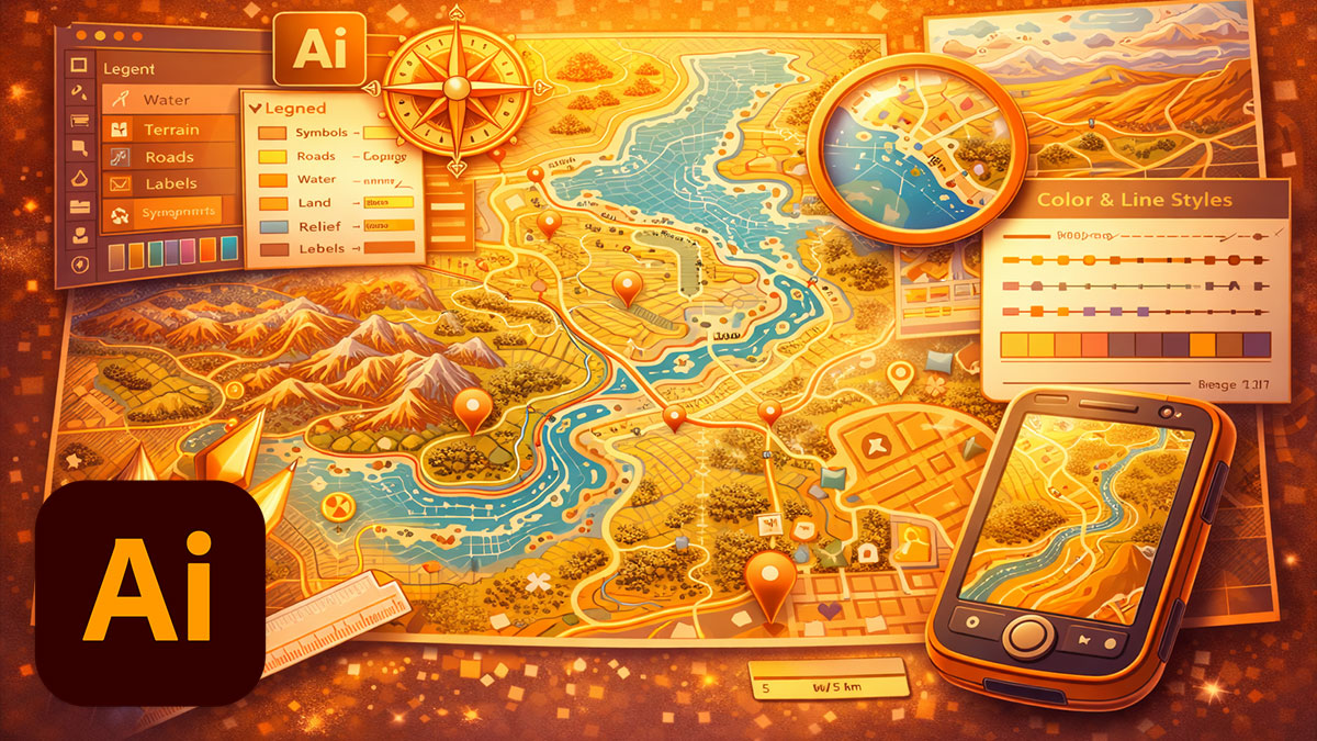
Course Outline
Module 1: Working with Map Data
- Sources for geographic data: OpenStreetMap, government data, and commercial options
- Importing vector map data into Illustrator
- Cleaning and organizing imported geometry
- Dealing with complex paths and simplification
Module 2: Styling Geographic Elements
- Hierarchy and visual weight for roads and transportation
- Styling regions, boundaries, and administrative areas
- Water features: oceans, rivers, and lakes
- Terrain representation: elevation, parks, and land use
Module 3: Symbol Systems for Maps
- Designing map markers and point-of-interest icons
- Building consistent symbol libraries
- Scale-appropriate symbol sizing
- Using Symbols for efficient placement and updates
Module 4: Cartographic Typography
- Label hierarchy: cities, regions, features, and streets
- Font selection for readability at various sizes
- Label placement strategies and avoiding collisions
- Curved text for rivers, roads, and boundaries
Module 5: Map Composition and Clarity
- Balancing detail with readability
- Visual hierarchy and guiding the viewer’s eye
- Legends, scale bars, and north arrows
- Inset maps and detail callouts
Module 6: Export and Delivery
- Preparing maps for print: resolution, bleeds, and color
- Exporting for digital: web, apps, and interactive use
- SVG export for scalable web maps
- Packaging map files with assets and documentation
Prerequisites & Technical Requirements
- Intermediate Illustrator experience
- Adobe Illustrator CC installed (latest version recommended)
Customization Options
This course can focus on your specific mapping needs—transit and wayfinding, editorial illustration, real estate and development, or tourism and travel. We can work with data from your actual geographic area and tailor the visual style to match your brand or publication standards.